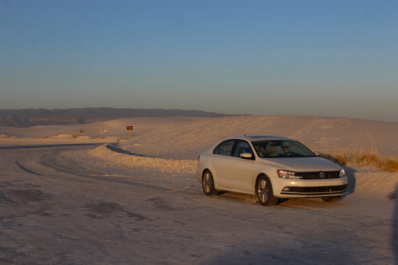

Awesome Las Vegas to Zion National Park Road Trip
Las Vegas is a great base for road-tripping national parks in the western United States. Thanks to its convenient location, you can visit Nevada, Arizona, Utah and California. My daughter lives in Nevada and we have visited several national parks from Las Vegas.
One of the best – and easiest – of those road trips routes is Las Vegas to Zion National Park. This drive is jam-packed with gorgeous scenery, plenty of historic places and interesting stops. Here’s how to do it.
This article contains affiliate links. That means I may earn a commission, at no cost to you, if you book or buy something from a link share. This keeps Southerner Says online and on the road. Thank you for your support.
Las Vegas to Zion National Park
One of the biggest reasons this specific road trip is so appealing is how close Zion is to Las Vegas. Even if you don’t have days to spend driving, it’s easy to hit some of the highlights in short time and still feel like you’ve had a full experience.
Driving from Las Vegas to Zion is also a road trip that anyone can do. It’s short enough to work for families since it has plenty of places to stop along the way without driving too far between. Solo travelers will find the drive safe and first-time road trippers don’t have to worry about long stretches without gas or services.
How Long Does it Take to Drive From Las Vegas to Zion?
The most direct Las Vegas to Zion National Park route is 160 miles and takes approximately 2 hours and 30 minutes with no stops. But if you want a more laid back road trip, then a slower-paced route through Lake Mead National Recreation area is what I recommend. It takes longer – about 3 hours and 15 minutes but well worth it.
Either of these routes can be done in a day but two days would be best and three days would give you plenty of time to add a few other stops and destinations in Nevada and Utah. As you’ll see, this route is easy to customize based on your interests and timeframe. The places in this article just happen to be some of my personal favorites.
It might also be helpful to use this Google Map I created – showing the routes and the things to do along the way that I suggest. Use the different layers (different routes) by clicking the icon on the left of the map title, save the map to your own Google account using the star and click on points of interest for more details or directions.
Is Zion the Closest National Park to Las Vegas?
Zion National Park isn’t the closest national park to Las Vegas – that title technically belongs to Death Valley National Park. I love visiting Death Valley from Vegas but it does require more advance planning thanks to extreme temperatures, long distances and limited services.
For many travelers, Zion is a more accessible and lower-stress option, especially if you’re short on time or newer to national park road trips. If you’re curious, I recently drove from Las Vegas to Death Valley for a day trip – I’ll be sharing that full route and planning tips soon.
Las Vegas to Zion Road Trip Stops
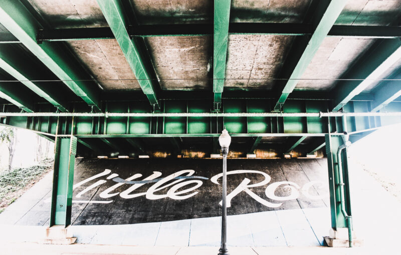
Las Vegas
What I like about this Las Vegas to Zion road trip is that it gives you the chance to experience Vegas – if you want to – while also visiting a national park. It’s perfect for travelers who aren’t full-on outdoorsy but still want to see some beautiful scenery and explore a bit of Utah.
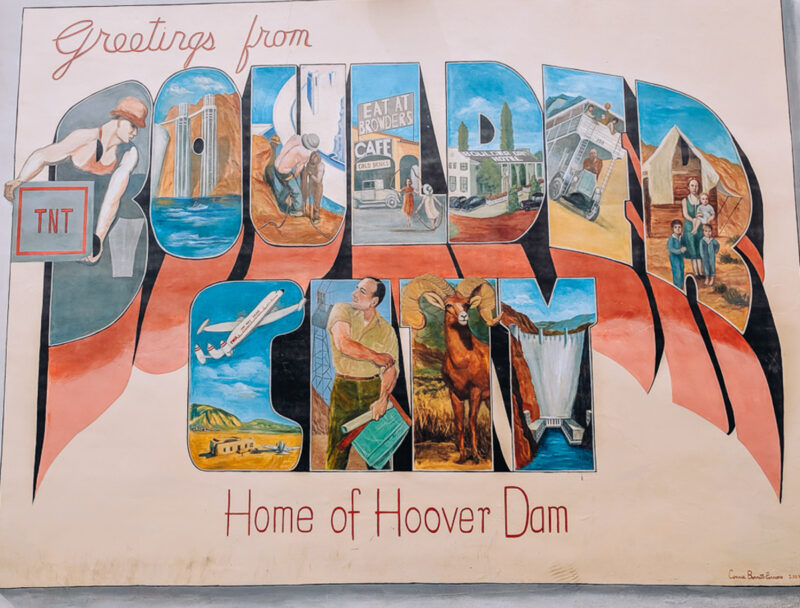
Las Vegas offers plenty of things to do on the Strip and nearby you can visit places like Tule Springs National Monument, Springs Preserve, Red Rock Canyon Conservation Area, Hoover Dam and Boulder City – all just a few miles from downtown.
For travelers who want to skip Las Vegas entirely and head straight out of town – that’s easy to do too. Harry Reid International Airport (LAS) is conveniently located south of the Strip, so you can hop off your flight and be on the interstate in minutes.
Where to Stay in Las vegas
The Flamingo and Vdara are two hotels I love. For an off Strip casino stay, the Aliante Casino & Hotel, and its epic pool, is a great choice. If you’re only need a place to spend the night before your road trip, both this Fairfield Inn and this Home2 Suites are convenient to both the airport and the interstate.
Need a vehicle for your Las Vegas to Zion National Park road trip? Harry Reid International Airport (LAS) is one of the most affordable airports for renting a car. With DiscoverCars.com you to check dozens of rental agencies and compare prices to find the perfect fit.
Las Vegas to Lake Mead
35 miles
Lake Mead National Recreation Area – in my opinion – is one of the most overlooked national parks in the park system. It’s also one of the most diverse. Most people think it’s only the lake but there’s so much more to it than that. And driving Northshore Road (Highway 167) gives you a chance to see the best parts.
This 62 mile scenic route winds along the lake and connects the park with Overton and the historic Moapa Valley. Along the way, you’ll enjoy incredible views of Lake Mead and the Muddy Mountains and see some landscapes that don’t even look real. It’s one of the most scenic drives in all of Nevada.
You’ll pass places like Redstone, with rocks so red they look painted, Echo Bay, or E Bay – that sounds familiar – and Rogers Springs, a hot springs oasis with palm trees. All of these places are must-stops in the park. Lake Mead is also home to wild horses, burros and big horn sheep so be on the lookout for those as you drive through.
Southerner Says: You could also include the Hoover Dam in this part of the itinerary. But I think a tour of the dam, the drive along Northshore and Valley of Fire State Park is too much for one day. The dam is at the opposite end of the park from Northshore. I would only add it if you plan on staying overnight in or near Lake Mead or Boulder City.
How to Get There
Depending on where you start your road trip in Las Vegas – there are a couple of ways to get to Lake Mead National Recreation Area. Keep in mind that like most national parks, Lake Mead is a fee based park. The entrance fee is $25 or free with an America the Beautiful Park Pass.
If you don’t have an America the Beautiful Park pass, here’s your chance to go ahead and get one especially since you are headed to Zion and it’s also a fee based park. This annual pass costs $80 dollars for U.S. residents ($250 non- residents) and is worth every penny if you plan on visiting more national parks and other public lands.
From north Las Vegas, or the Strip: Las Vegas Boulevard into the park is probably the best route. Las Vegas Boulevard will end at Northshore Road. Take a left to continue into the park. (Google Map layer 2)
From the airport, or south Las Vegas: Head towards Henderson to West Lake Mead Parkway. This route takes you through the suburb to Lake Las Vegas. Just a couple of miles beyond Lake Las Vegas you’ll see the Lake Mead entrance station. Enter the park and take a left on Northshore Road. (Google Map layer 3)

Lake Mead to Valley of Fire State Park
1 mile
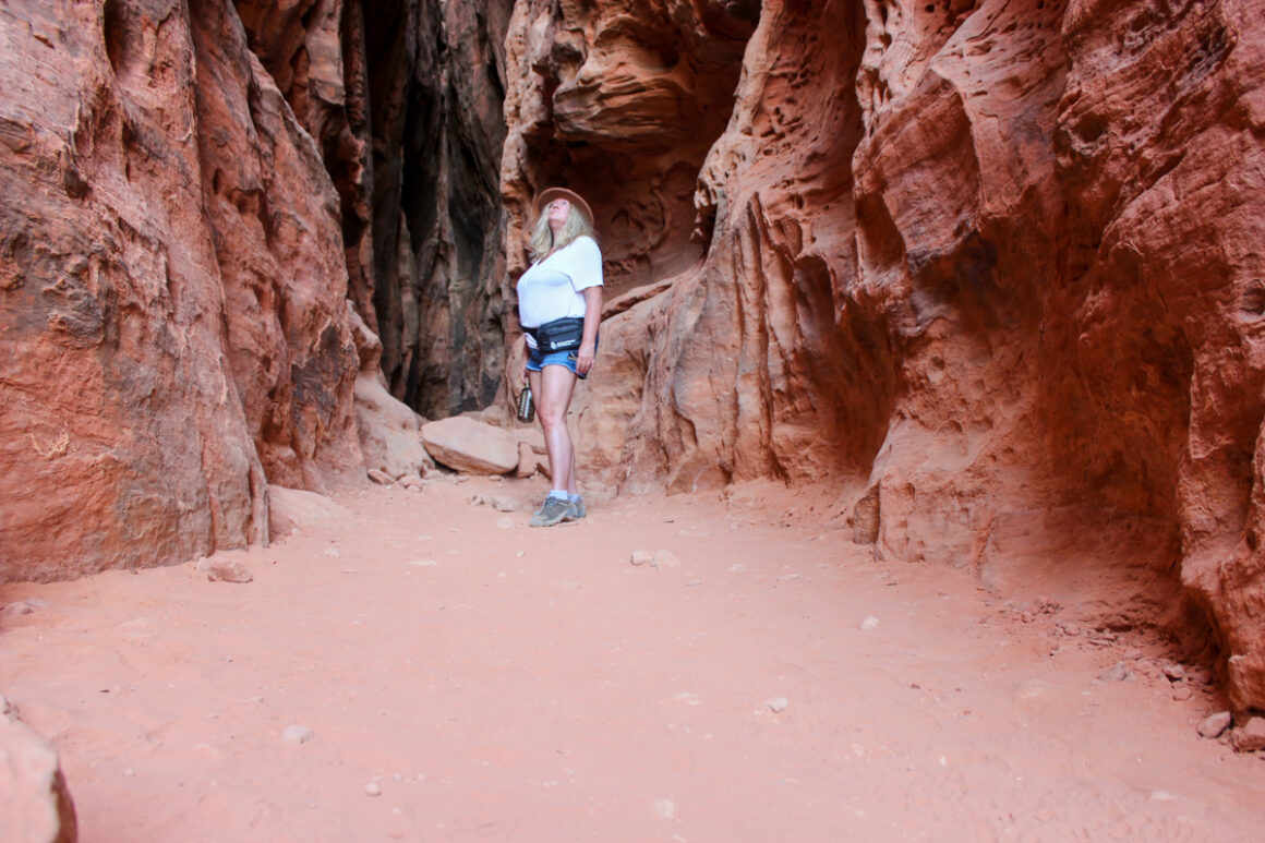
Just outside Lake Mead’s boundary, you’ll find one of Las Vegas’ best known secrets. Valley of Fire State Park is Nevada’s first state park and is home to unique geological features amid stunning red Aztec sandstone and textured pink limestone.
Don’t miss 2,000 year old petroglyphs at Atlatl Rock, the arches at Arch Rock and Elephant Rock and even petrified wood. For hikers, the moderate White Domes Loop Trail (1.1 miles out and back) or easy Fire Wave (1.5-mile out-and-back) are both good options. At the very least, drive Mouse Tank Road and stop by the visitor center.
How to Get There
After exiting Lake Mead National Recreation Area on Northshore Road, make a left on on Valley of Fire Highway. This will take you into Valley of Fire’s east entrance. To enter it’s $10 per car for Nevada residents and $15 for non-residents.
Valley of Fire State Park is approximately 53 miles from Las Vegas. Take I-15 and exit 75. You’ll enter Valley of Fire State Park via the park’s west entrance on the Valley of Fire Highway. This highway passes through the park running east to west between I-15 and Highway 169.
Valley of Fire to Overton, Nevada
9 miles
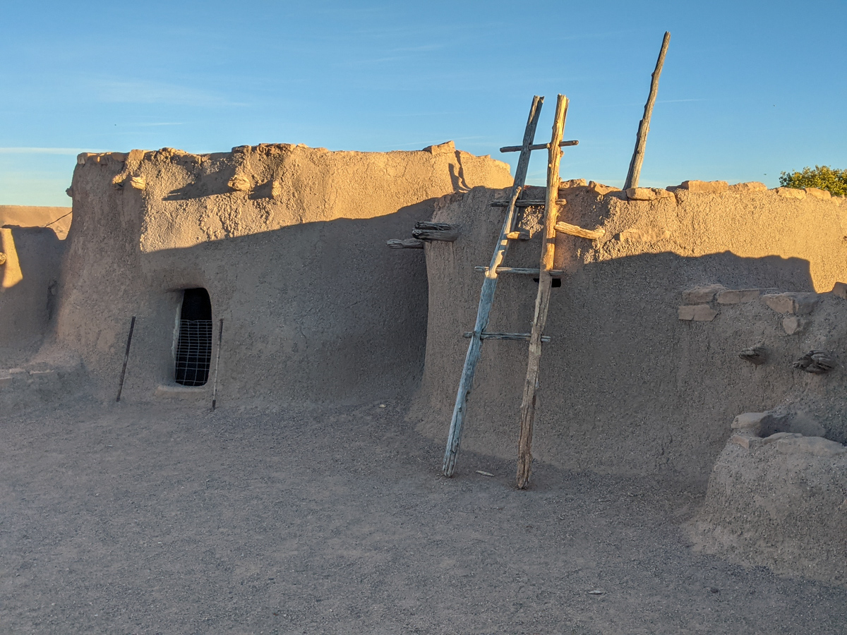
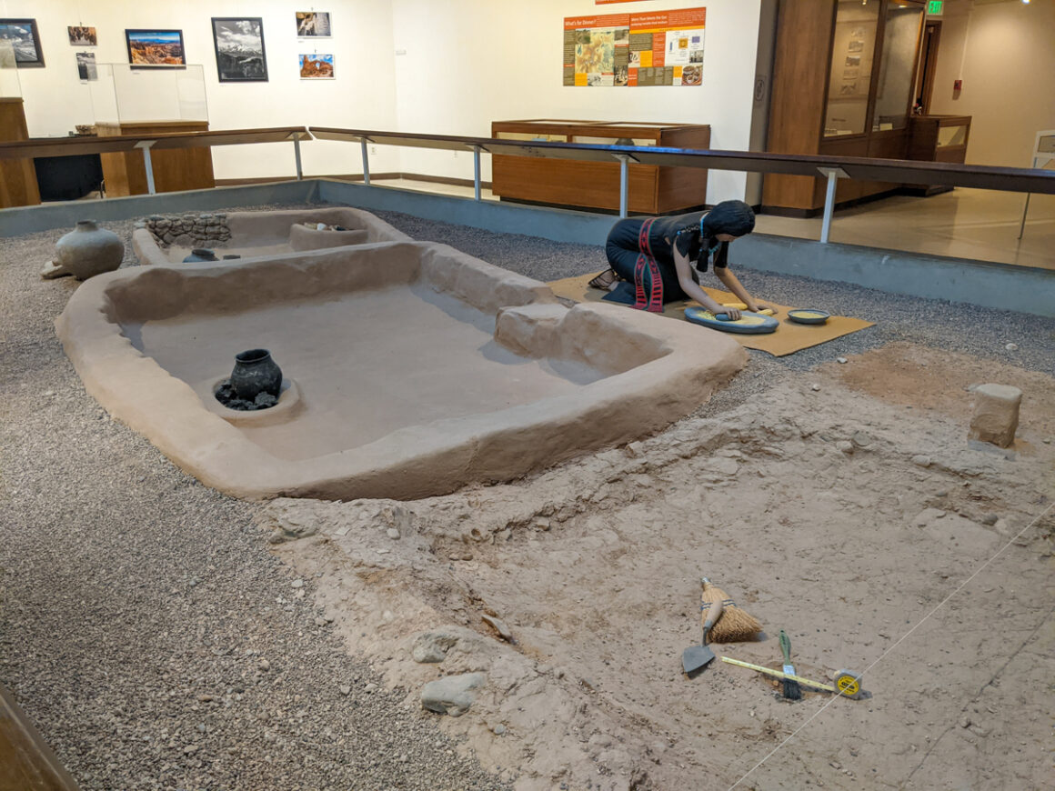
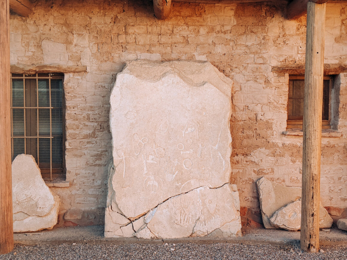
From Valley of Fire, the drive continues to Overton where a stop at the Lost City Museum is a must stop for anyone interested in Nevada’s past. This area of the state was once home to the Ancestral Puebloans and is often referred to as Pueblo Grande de Nevada, or simply the Lost City.
Nevada doesn’t have cliff dwellings like those found in Arizona and Colorado but archaeologists have uncovered the remains of pit houses in the region. The Lost City Museum bring that history to life. Built in 1935 by the Civilian Conservation Corps, the museum sits on an actual archaeological site excavated in the 1930s.
How to Get There
Exit the Valley of Fire through the east entrance, turn left onto Highway 169 – toward Overton and Moapa Valley – to visit the Lost City Museum before returning to I-15 via Highway 169 (see Google Map layer 1). This is the most popular way to visit the museum since most people drive to Valley of Fire via the interstate.
However, if you enter Valley of Fire State Park from Lake Mead National Recreation Area, you will be entering at the east entrance. After visiting the park you will need to backtrack a few miles and exit the east entrance again onto Highway 169 to get to Overton for visiting the Lost City Museum before continuing to Zion on I-15.
Overton to Mesquite, Nevada
41 miles
Mesquite is a small interstate town that’s a nice break between Las Vegas and Zion National Park. If you have time, visit the Virgin Valley Heritage Museum with objects and artifacts from the town’s early pioneer days or stop by the Donkey History Museum, that’s run by a local donkey rescue to support a good cause.
While in Mesquite, you could also visit Gold Butte National Monument. But this is not a casual side trip and is for road trippers who are fully prepared. The roads are mostly unpaved and slow-going, so a high-clearance or 4WD vehicle is recommended. I’ll be covering Gold Butte in more detail in a upcoming article.
Where to Stay in mesquite
The Eureka Casino Resort and Holiday Inn Express are both solid choices in Mesquite if you’re looking for a place to spend the night.
How to Get There
Leaving the Lost City Museum and Overton, continue on Highway 169 west until you reach I-15. Head north towards Mesquite, exiting at either exit 120 or 122. Note: from Mesquite to St. George will be entirely on I-15 until you get closer to the Zion National Park exit.)
Mesquite to the Virgin River Gorge
25 miles
As you leave the state of Nevada, just northeast of Mesquite, you’ll pass through the remote northwestern corner of Arizona known as the Arizona Strip. This area is largely cut off from the rest of the state by the Grand Canyon – which is how it got its name.
Once home to the Kaibab people and other Native American tribes before Mormon pioneers settled here in the 19th century, it’s a area full of history and cultural significance, all tied together by the Virgin River – the same river that flows through Zion National Park.
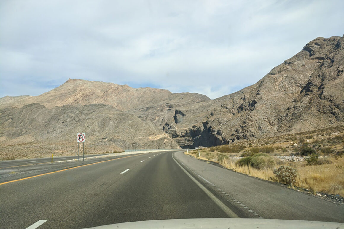
The route from Las Vegas to Zion National Park on I-15 takes you alongside the Virgin River and through the Virgin River Gorge. Carved over 500 million years ago, the gorge is one of the most spectacular and exciting stretches of interstate in the United States. And one of the most expensive. The last bridge repair made in the mid 2000’s cost more than the entire project in the 1970’s.
Unfortunately you can’t really see much of the river and there aren’t any places to stop due to the narrow shoulders in this stretch of the interstate. Once you finally exit the gorge, the Bureau of Land Management maintains the Virgin River Canyon Recreation Area at Exit 18 – a great spot to stretch your legs after what you just drove through.
Virgin River Gorge to St. George, Utah
20 miles
Besides the “Welcome to Utah” sign, the remaining drive into Utah is pretty insignificant. St. George – the first large city you’ll come to north of the state line – is full of things to keep you busy for weeks. White Domes Nature Preserve, Tonaquint Nature Center and St. George Dinosaur Discovery Site are just a few worth mentioning.
State parks like Sand Hollow State Park, Quail Creek State Park and Snow Canyon State Park are also close by and could easily be added to a Las Vegas to Zion itinerary. I spent a day at Snow Canyon on my way to Zion one time and loved its compact size and easy hikes.
Red Cliffs National Conservation Area is another unique area, just north of St. George, offering some interesting hikes and a cute, small first-come first-served campground. Any of these places could easily be added to a Las Vegas to Zion National Park Road Trip.
St. George to Hurricane, Utah
19 miles
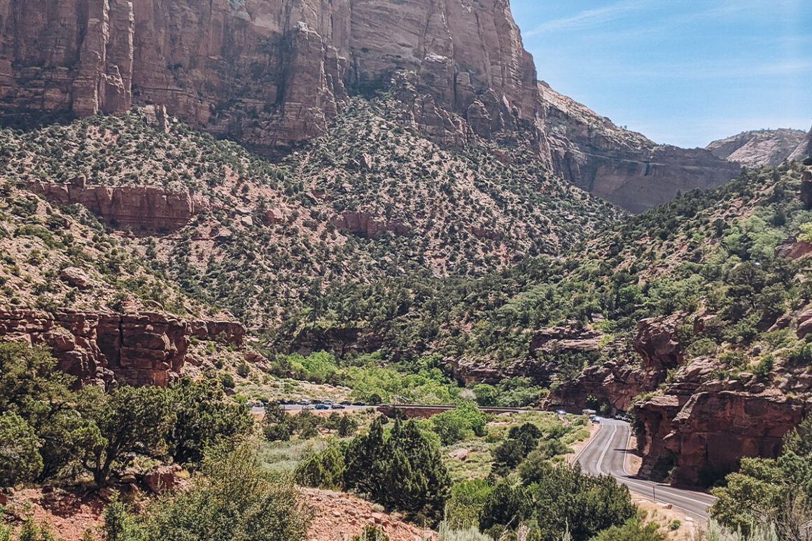
After passing through St. George, you’ll leave the interstate for Highway 9 to Hurricane (pronounced hur-uh-kun, not hur-uh-cane), Utah. Exit 16 is the official exit with the signs for Zion National Park but I usually take exit 13 instead – mostly for the Maverik Convenience Store.
I began stopping here a few years ago not only because there was less traffic but also for snacks, ice and fuel. I like them so much I actively look for Maverik stores whenever I’m traveling out west. They are reliable, with super clean restrooms, hot food like breakfast sandwiches and quesadillas and some really cool murals featuring the surrounding area.
Hurricane is large enough town to be a practical stop for groceries or last-minute supplies and the Walmart Supercenter here is the final chance for a big stock-up before heading toward Zion. Personally, I try to avoid stopping there because it’s almost always crowded but if you need food or supplies this is the place to do it.
Where to Stay in hurricane
Hurricane has a few chain hotels options. Comfort Inn & Suites and Sleep Inn & Suites are both well-rated on Google and Expedia. I haven’t stayed at either, but if you plan to explore more of the area, both are convenient, for getting around to various sights.
How to Get There
Exit the interstate at either exit 13 or 16 and continue on Highway 9 to Hurricane. Exit 16 has the signage for Zion National Park but exit 13 is where I prefer to gas up. If you do use exit 13 then East Telegraph Street, Once you’re on Highway 9, it’s only 19 miles to Hurricane.
Hurricane to Zion National Park
24 miles
From Hurricane you’re almost to Zion. All that’s left is the drive through a few small towns and communities before arriving at the park. A couple of notable stops – at least for me – River Rock Roasting Company – in the small town of La Verkin – serves tasty breakfast sandwiches and delicious burgers PLUS some killer views from the back patio. (They also have a drive-thru in Hurricane but its not the same vibe.)
Also, La Verkin is the very (really) last place to buy groceries at a real grocery store. Davis Food & Drugs is the only one in town, besides a Family Dollar, that offers basic food items. Springdale, located right next to Zion, has a few smaller markets and deli’s but nothing the size of these two stores.
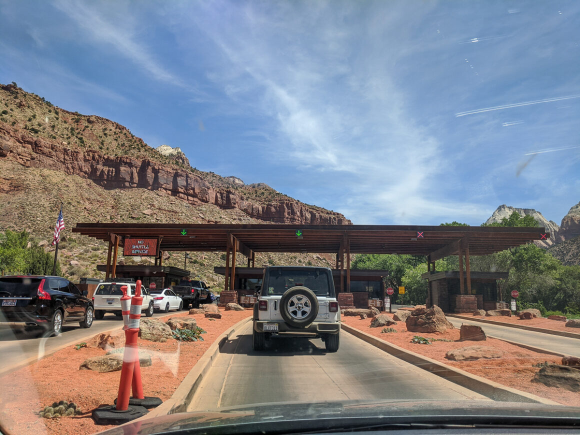
Zion National Park
Next is Springdale and then you’re practically in the park. Remember Zion is a fee-based park so you will be required to pay a $35 per-car fee ($30 for a motocycle) or use an America the Beautiful Park Pass to drive into, or through, the park. Even if you don’t have plans to ride the shuttle into Zion Canyon, you’re required to pay.
A few years ago, Zion tested a reservation system for the shuttle into Zion Canyon but that’s no longer necessary. Now, the only activities requiring a reservation, or a permit, in Zion National Park are for hiking Angels Landing and Virgin River Narrows.
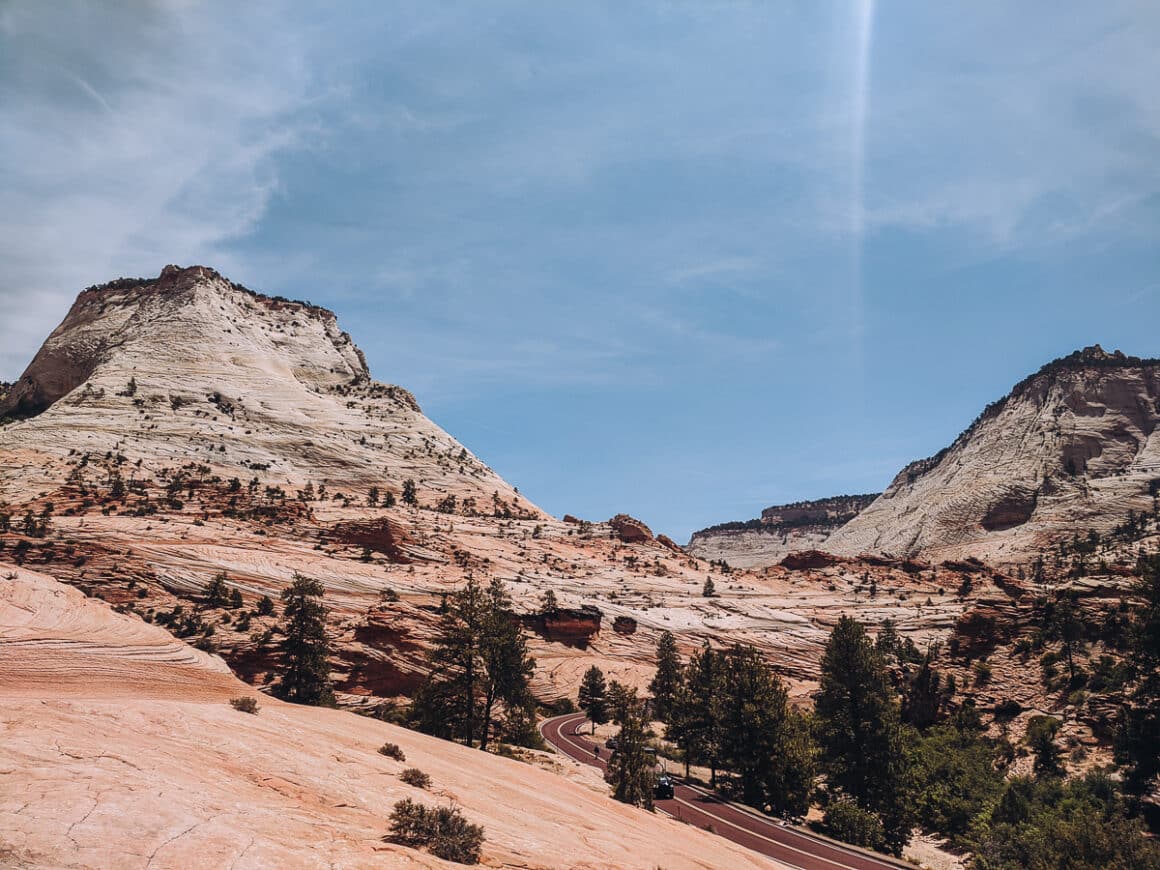
In the park, don’t miss the informative visitor center, hiking and walking along the Virgin River and honestly just take the time to soak up the views, the colors and beauty of Zion. Being in the canyon and surrounded by the towering walls is a really unique park experience.
It’s worth mentioning that Zion National Park can get really crowded during the busy season and parking can be difficult. If you are staying in Springdale, take advantage of the free Springdale shuttle into the park that the city offers to cut down on parking issues. (Not to be confused with the shuttle inside the park that takes you into Zion Canyon).
Whatever your situation you’ll definitely want to get to the park as early as you can when visiting in busy months. That, and implementing a few other tips for avoiding the crowds in Zion National Park, will help you get the most out of your Zion visit.
Where to Stay
The closer you get to Zion, the more places to stay. Zion River Resort is a huge RV and tent campground with nice, clean facilites (I have stayed here) and Zion Wildflower Resort, (toured the resort) is a collection of small cottages and covered wagons. Also nearby is the ever popular Under Canvas Zion property (on my wishlist).
Looking for a place to stay in Zion National Park? The park has its own lodge and three campgrounds inside the park. Outside the park, there’s plenty of BLM land around Zion for dispersed camping or boondocking.
More Road Trip Ideas Around Zion National Park
Kolob Canyons is lesser-known section of Zion National Park that could be included in a Zion road trip. Instead of exiting the interstate at Hurricane, continue north for approximately 25 miles to exit 40. This section of Zion has the same red Navajo sandstone canyons as the main park with way less crowds. (Map Layer 5)
If you are trying to group national parks together and visit as many as you can at the same time, then Bryce Canyon National Park is a good addition to a Las Vegas to Zion road trip since it’s just 85 miles. Plus, the park itself is so easy to visit. After visiting you can make a big loop, returning to I-15 through the Dixie National Forest. (Map Layer 8) or continue on a Utah national park trip.
Another route suggestion after visiting Zion, is to head east to Mount Carmel Junction and then south on Highway 89 to Kanab. There are tons of things to do in, and around, Kanab. When you’re ready to return to Las Vegas, use Highway 389 through Colorado City and Apple Valley to Hurricane and the interstate. I have more info coming soon on this road trip route. (Map Layer 6)
And if you want to see Zion National Park and the Grand Canyon at the same time, drive south from Zion and and make a big loop, visiting the South Rim and Sedona before returning to Las Vegas or even Phoenix. Or do that route in reverse, starting with the Grand Canyon, around the east side of the park and north to Zion through Kanab. (Map Layer 7)
Best Time to Road Trip From Las Vegas to Zion National Park
Zion National Park is open year round and can be visited in any month, weather permitting. Mild Las Vegas temperatures and good roads make it easy getting to the park even in winter. But since Zion is at a higher elevation than Las Vegas, you can encounter snowy, icy conditions closer to the park.
In summer, as well, it’s critical to keep an eye on the weather forecast, especially during monsoon (summer). The canyons are prone to landslides and flooding when it rains. At times, the park service closes trails due to potentially dangerous conditions and rock slides. Be smart. Always check the forecast and the park website before you go.
Spring
Spring in Zion National Park is a beautiful time of year to visit. If they has snow, it’s melted and the temperatures are mild. The park is bursting with new growth and you’ll have the opportunity to see more water in the river and waterfalls. Spring is a busy time at Zion but not as busy as summer. Average daytime in the 70’s.
Summer
Summer is the busiest time at Zion National Park. You’ll need to be strategic about when you go. There are a few things you can do to avoid the crowds in the park. Summer is also monsoon so the probability of rain and even flooding increases in June, July and into August. Definitely pack a rain coat or lightweight jacket. Average temperatures in the 80’s.
Fall
Fall is also a good time to visit Zion. Some of the summer crowds have thinned out and it’s not as hot. Dress in layers and remember that the Zion shuttle into the canyon runs until December. Visit the park website for the exact dates that may vary from year to year. I visited in late November one year and it was cool but perfect.
Winter
With an elevation of 4,000 feet, winter in Zion is cold and there’s always a chance of snow and ice. Some of the park roads and trails may even close. January will be the coldest month with highs in the 40’s based on recent years data. The bonus of visiting in winter is that it’s not shuttle season so you can drive your own car into the canyon.
Zion National Park Tips
Here’s a few Zion tips you might find useful:
- Cellular service is spotty in the canyons of Zion National Park and surrounding areas but ultimately it really depends on what carrier you use. I have Verizon and never have good service in Southern Utah but my daughter uses AT&T and she usually has better service than me.
- Remember if you plan on hiking Angels Landing while in Zion, permits are required. You can find out more info on the Zion’s website here.
- Pick up a National Park Service map and newspaper at the entrance station to help plan your visit. Also, if you plan on spending some time in the area you can never go wrong with a more detailed map. This National Geographic Zion one is really useful.
- I also suggest buying a Zion guidebook. James Kaiser is one of my favorite national park writers and he has written a really informative guidebook about Zion. Moon Guides, another fav, offers a Zion and Bryce Canyon guidebook.
- Always check nps.gov for park alerts and closures before you go.
Las Vegas to Zion National Park Round-Up
Visiting Zion National Park from Las Vegas is a perfect road trip itinerary. There’s plenty to do and you can customize the itinerary to your interests. It’s also easy to make a loop and return to Las Vegas or add in a few other places in Utah.
You could also visit the Utah national parks and end your trip in Salt Lake City, ending you trip there. Honestly, just between Nevada and Utah, the road trip possibilities are virtually endless.
As you adventure, remember to use Leave No Trace principles when visiting national parks, sacred areas and public lands. Always leave things better than you found them. And if you need help planning a Zion National Park trip, or any trip, I’m just a click away.
See you on the road!

Author: Lori Blalock
A girl raised in the South, Lori is the founder of Southerner Says and is a travel advisor who’s road tripped all 50 states and visited over half of the Mexican states. Passionate about national parks, public land, sunsets and good barbecue, she writes about and helps others plan memorable adventures in the U.S., Mexico and Caribbean. Georgia is home — but she’s rarely there.