

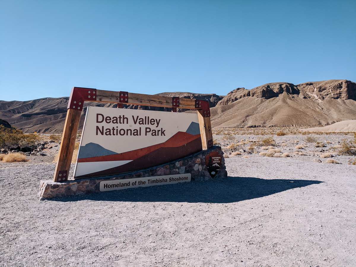
21 Helpful Things You Need to Know About Death Valley National Park
Once home to the Timbisha Shoshone tribe, miners and even a few outlaws, Death Valley — in the Mojave Desert – is a unique national park. Hot, dry and really spread out — it’s a park of extremes. And all of these unique things make it a bit trickier to visit than other national parks.
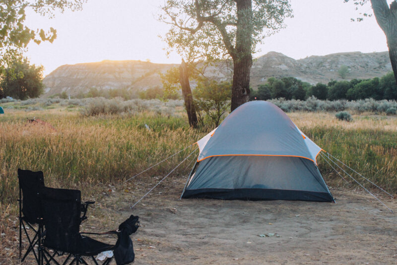
After a few failed attempts, due to weather and other issues, I finally visited for the first time one October. Even though I planned, I didn’t realize how hot it might still be. Laying in my tent feeling like a pizza on a pizza stone at 2 am I thoroughly questioned my decision.
I’ve been back to Death Valley a few times now but that experience — plus wanting to help others avoid mistakes like mine — was the reason I came up with this list of what I think are some of the most helpful things you need to know about Death Valley National Park. That way there won’t be any surprises when you go.
What You Need to Know About Death Valley
1. It’s Huge
Straddling the California–Nevada border, Death Valley covers 3.4 million acres — roughly 3,000 square miles — making it the largest national park in the lower 48. Yellowstone feels enormous until you’ve driven Death Valley. It’s that big.
Because of the size, having a plan matters more here than almost any other park. Without one you can easily burn hours driving in the wrong direction or miss something you don’t want to double back for.
Knowing the layout and the junctions help — Furnace Creek is the central hub where you’ll find the visitor center, two hotels and several campgrounds. Stovepipe Wells, Badwater Road and Beatty Cutoff are the other anchors. Get familiar with those names before you go and the park starts to make sense.
2. It’s a Fee Based Park
Death Valley doesn’t have traditional entrance stations with rangers waving you through — instead you’ll find self-pay kiosks with credit card readers at several points around the park. No cash accepted anywhere.
The current fees are: $30 per vehicle for a 7-day pass, $25 for motorcycles and $55 for a Death Valley-only annual pass. If you visit three or four parks a year the America the Beautiful Pass at $80 for U.S. residents ($250 for non-residents) is the better deal — it covers more than 2,000 federal recreation sites and pays for itself fast.
3. Death Valley is in California and Nevada
Most people think of Death Valley as a California park — and most of it is — but a small piece crosses into Nevada. Just outside the park boundary sits Ash Meadows National Wildlife Refuge, about 110,000 acres managed by U.S. Fish and Wildlife.
It’s home to four endangered fish species including the Amargosa pupfish and if you want to actually see pupfish, Ash Meadows is your best bet. The boardwalks at Point of Rocks and Kings Pool are good spots to look for them.
4. It’s the Lowest Place in North America
Badwater Basin sits 282 feet below sea level — the lowest point in North America — and walking out onto the salt flats is one of those experiences that’s hard to put into words until you’ve done it. There’s a boardwalk and viewing platform near the parking area but don’t stop there.
Walk out onto the flats. The further you go the fewer people you’ll find and the better the salt patterns get. The crust forms naturally as groundwater evaporates and pushes upward — the result looks like something from another planet. It’s especially beautiful at sunset and on a full moon night the white salt appears to glow.
5. It’s the Hottest Place in North America
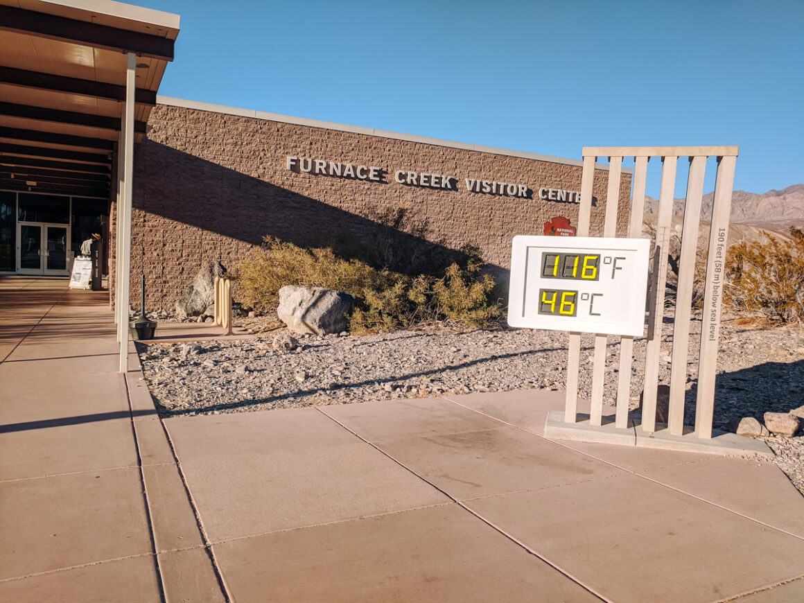
Death Valley holds the record for the highest reliably recorded air temperature on earth: 134°F on July 10, 1913 at Furnace Creek — where the park’s official thermometer lives. Stop by and see it. It’s one of those only-in-Death-Valley moments.
The heat comes from a combination of low elevation, dry desert air and almost no vegetation. There’s also almost no natural shade anywhere in the main valley — if you need a break from the sun you’re heading to higher elevation or back to your car. Plan your activities for early morning and don’t argue with the thermometer.
6. It Has Multiple Entrances
Death Valley has several entry points and which one you use makes a real difference in what you see first.
From California, Highway 190 through Olancha is one of my favorites — it passes Father Crowley Vista Point and winds through some spectacular mountain terrain before dropping into Panamint Springs.
From Las Vegas, Highway 160 through Pahrump to Death Valley Junction is the most straightforward. I like entering from that side and exiting through Beatty, Nevada on Highway 374 — it makes a natural loop and Beatty is worth a stop on its own.
A few general rules: if you’re focused on Furnace Creek, Badwater and the main attractions, the Nevada approach saves time. Dante’s View and Zabriskie Point are easier from the east. Mesquite Flat Sand Dunes are most convenient coming in on Highway 190 from the west through Stovepipe Wells.
7. There Are a Lot of Unpaved Roads
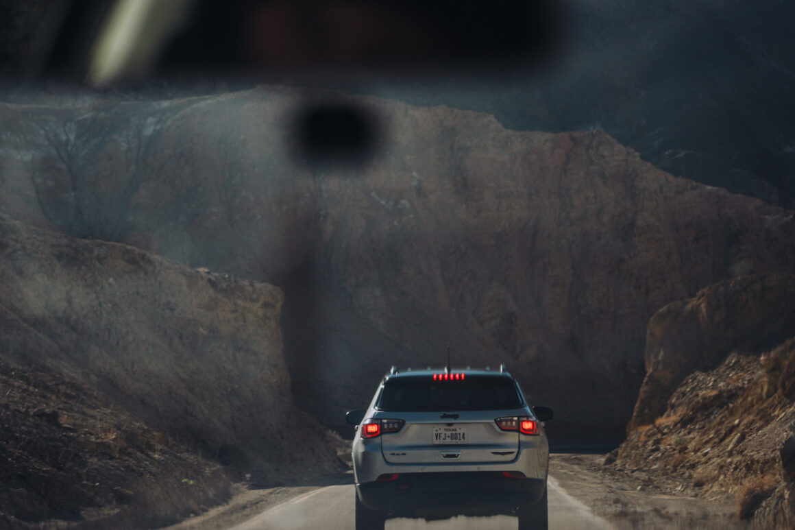
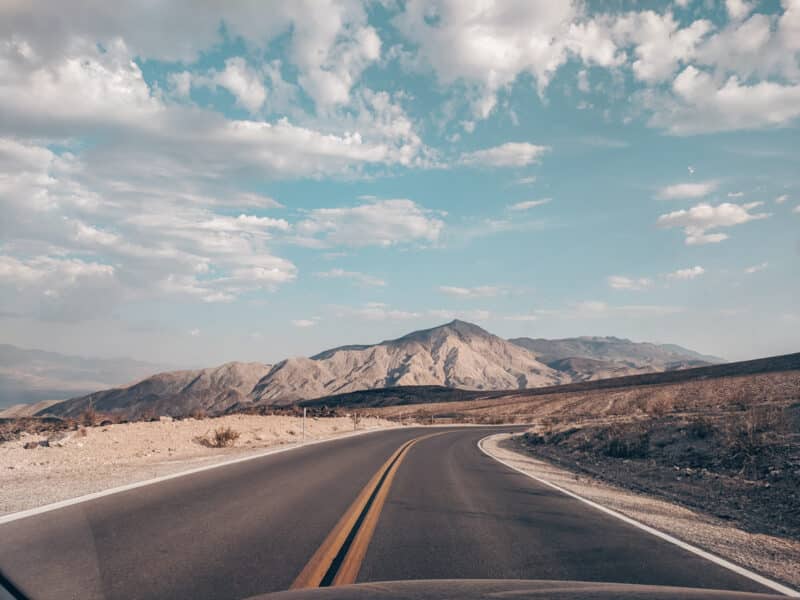
Death Valley has over 1,400 miles of roads and a lot of them are unpaved. The ones leading to popular stops are generally well-maintained and passable in a regular car. The backcountry routes — Titus Canyon being the most well-known — require high clearance or 4WD. If you want to explore those areas and don’t have the right vehicle, rent a Jeeps in Furnace Creek.
Pick up a physical map at the entrance kiosks or download one from nps.gov before you leave cell range. For more on navigating the roads check out my full guide to Driving in Death Valley. The National Park Service also provides detailed backcountry road and dispersed camping map.
Frequent visitors may want a more detailed option, such as this National Geographic Death Valley map, for guidance on roads, trails and points of interest. For more tips about navigating the park’s roads, check out my full guide: Driving in Death Valley National Park.
8. Your Car Needs to Be Death Valley Ready
Heat is hard on vehicles and Death Valley is unforgiving. Before you go check your tires, fluids, cooling system and battery. Make sure your spare is in good shape and you have the tools to change a flat. A battery jump box that can also inflate a tire is worth throwing in the trunk — so is a can of Fix-a-Flat. Breakdowns happen and in Death Valley help can be hours away.
Carry more water than you think you need. Keep an eye on your fuel — gas stations are few and far between and running low out here is not a situation you want to be in. For a full pre-trip vehicle checklist check out my guide to Things to Check Before a Road Trip.
9. Cell Service is Not Reliable
Cell service in Death Valley is limited and unreliable. I have Verizon and rarely get a signal anywhere in the park. My daughter with AT&T does slightly better in some areas but don’t count on it. If you plan to go off the main roads download your maps, your music and anything else you need before you lose signal — and you will lose signal.
For backcountry or 4WD roads, a satellite communicator like the Garmin inReach or Zoleo is worth considering. They let you send messages and get help even with zero cell coverage. Peace of mind is worth the investment out here.
10. GPS Might Not Be Accurate
The NPS specifically warns that GPS and phone navigation can lead you to dead ends, closed roads or routes your car has no business being on. That’s because Death Valley is full of old mining roads that haven’t been updated in who knows when.
And GPS is only as good as the info it’s built on. If maps are old and not accurate then the directions are out of date. Roads that look like routes or shortcuts on a map are sometimes narrow, unpaved and require 4WD. It can be serious. There have been instances in Death Valley where visitors followed GPS down roads and couldn’t get out. Tragically even one person died.
Always use a physical map as your primary navigation and GPS as a backup. The National Geographic Death Valley map is worth having for anything beyond the highway and main roads.
11. The Best Time to Visit Death Valley
Death Valley National Park is open year-round but the best time to visit depends on what you want to do and your tolerance for heat. For hiking and exploring in moderate temperatures, the cooler winter months are the best.
Winter is the busiest time in Death Valley National Park. Temperatures are mild and can range anywhere between 70’s during the day to mid 30’s for the lows. It’s easier to visit during the winter months since you don’t have to be worried as much about overheating. There will be more people in the park.
Spring can also be a great time to visit, especially if you want to see the park’s famous wildflower blooms. Early April and even early May often offer milder temperatures. Late May, including the Memorial Day weekend and it’s already hot.
Summer months, from May through October, bring temperatures often exceeding 110°F. Visiting during this time is possible, but you’ll need to take extra precautions: plan early-morning activities, carry plenty of water, wear sun protection and be prepared for sudden changes in conditions.
Fall, including October, is tricky — as I discovered while camping — days may be moderate, but afternoons and nights will remind you that Death Valley is still a desert of extremes. Late fall can be a great compromise: fewer crowds and cooler weather, though it’s still smart to plan for heat.
12. Death Valley is a Dark Sky Park
Far from any major city, Death Valley has some of the darkest skies in the country and the designation to prove it. On a moonless night you can see the Milky Way with the naked eye — and I mean really see it, not just hint at it.
Time your visit around the moon cycle. A full moon and you can’t see the stars. The National Park Service provides tips on how to make the most of a Dark Sky experience and hosts a Dark Sky Festival each year. Check with rangers for current events.
Some of the best spots to stargaze in the park include Mesquite Flat Sand Dunes, Harmony Borax Works, and Badwater Basin — all of which have wide, open views of the sky with minimal obstructions but honestly anywhere is pretty good viewing.

13. There’s One Visitor Center Open
Death Valley National Park has two visitor centers — Furnace Creek and Scotty’s Castle — but only Furnace Creek is currently open. Scotty’s Castle has been closed since 2015 after flooding damaged the roads. The National Park Service hasn’t announced a reopening date.
Furnace Creek Visitor Center is open daily from 8 am to 5 pm. In addition to educational exhibits and park information, you can watch a park film — that’s one way to beat the heat — get your National Park Passport stamped and ask rangers any questions you might have.
14. Where to Stay in Death Valley
In a park this big staying inside or as close as possible saves a lot of driving.
Hotels
Inside the park the main hotel options are The Inn at Death Valley and more The Ranch at Death Valley, both in the Furnace Creek area. The Inn is the historic luxury option — spring-fed pool, Spanish colonial architecture, the kind of place that makes you feel like you’re in a different era. The Ranch is more casual and family-friendly.
The Village at Stovepipe Wells features a hotel, restaurant and saloon, gas station and general store and more central for the northern part of the park.
Camping
With nine nine developed and primitive campgrounds, camping in Death Valley is one of the best ways to experience the park. The Furnace Creek Campground is open year-round and is a safe bet. Texas Springs — open seasonally — has a few mesquite and tamarisk trees. Reservations can be made at recreation.gov.
For backcountry camping use this handy Backcountry Camping Map & Rules to make your plans before you head out.
Outside the park Beatty, Nevada on the east side is a practical and affordable base and only about 10 miles from the entrance. Pahrump, Nevada, to the south, is a bit larger with more hotel options.
Southerner Says: Check nps.gov for campground rules. Some are first-come first-served campgrounds all year long and others, like the Furnace Creek Campground, switch to first-come first-served during the low season. For more national park camping info read my Tips for Camping in a National Park and if you are intimidated about camping without a reservation then checkout this First-Come First-Served article too.
15. There Are Easy Hikes
Death Valley National Park has a surprising number of easy and moderate hikes, suitable for all experience levels but the catch is timing. The same hike that’s pleasant in January can be dangerous in June.
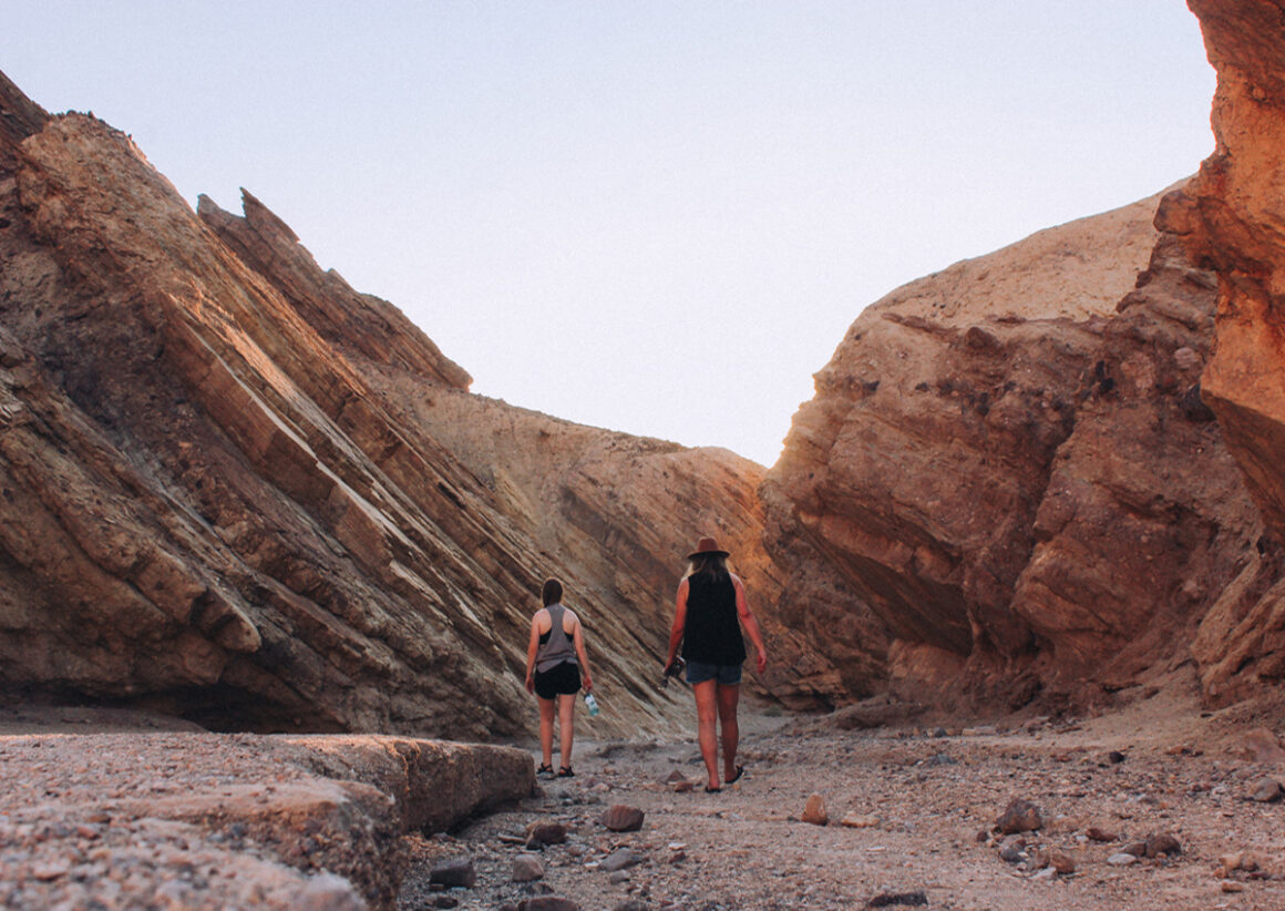
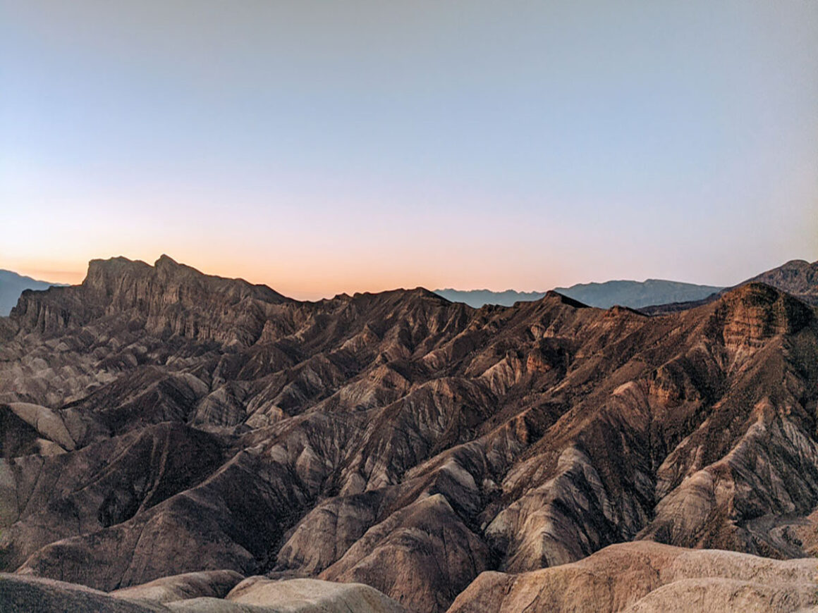
Some of the most accessible options are Badwater Basin, Zabriskie Point, Ubehebe Crater rim, Dante’s Peak and Mesquite Flat Sand Dunes. The dunes at sunrise are worth setting an alarm for. Wherever you hike carry more water than you think you need, wear a hat and don’t underestimate how much harder everything feels in desert heat.
16. Pets Are Welcome — With Restrictions
Dogs are allowed in Death Valley but the rules are strict and worth knowing before you load them in the car. Dogs must be leashed at all times and can never be left in a vehicle — temperatures inside a parked car in Death Valley become dangerous in minutes.
They’re not permitted on hiking trails or natural area boardwalks including Badwater Basin but they can be with you in developed areas, parking lots, campgrounds and around federal buildings. Service animals are exempt from these restrictions. The NPS website has a full list of pet-friendly areas in the park.
17. There Are Gas Stations in the Park
Three of them — Furnace Creek, Stovepipe Wells and Panamint Springs. Furnace Creek even allows you fill up after hours. That said, prices inside the park are significantly higher than anywhere outside it. Top off before you enter and treat every stop as an opportunity to add a little more. In a park with 1,400 miles of road you don’t want to be doing the math on fumes.
EV drivers aren’t left out, either. The Oasis at Death Valley (both the Inn and the Ranch) has Level 2 charging stations available for guests, although there are no fast chargers in the park. The National Park Service also asks not to use campground electrical pedestals for EV charging.
18. Supplies Are Limited
Fuel and general stores exist inside the park but don’t let that fool you. Supplies and services in Death Valley are sparse — and that’s putting it kindly. Furnace Creek, Stovepipe Wells and Panamint Springs are your only real options and hours can be limited outside of peak season.
Stock up on water, snacks and anything you might need before you enter. Once you leave the main highway you’re on your own and the back roads don’t come with a backup plan.
One more thing worth knowing: ice melts fast out here. If you’re visiting in the warmer months, bring two coolers — one just for ice that you keep closed as much as possible, and one for food and drinks. Transfer ice from the first to the second as needed. It sounds like overkill until you’re three days in and everything is lukewarm.
19. It Rains in Death Valley
Death Valley averages about 2 inches of rain a year but the last few years have proven that averages are just averages. The storms of 2023, 2024 and 2025 washed out roads and brought back Lake Manly — a temporary lake that hadn’t appeared at that scale in decades.
Storms develop fast and the effects travel far — a wash or slot canyon can flood from rain that fell miles away and nowhere near where you’re standing. Check the forecast, watch for park alerts and ask a ranger about current conditions before heading anywhere remote
20. It’s Easy to Visit From Las Vegas
Death Valley makes a solid day trip from Las Vegas if you start early and keep your expectations realistic — one day isn’t enough to see everything but it’s enough to see a lot. Dante’s View, Badwater Basin, Artist’s Drive, the Furnace Creek Visitor Center and a quick walk on the Mesquite Flat Sand Dunes if it’s not too hot. The drive through Pahrump and the Humboldt–Toiyabe National Forest is a completely different world from the Strip and worth doing at least once just for that.
21. How Death Valley Got its Name
This may not be the most important thing to know before visiting but it’s definitely one of the most common questions asked: how did Death Valley get its name?
The story goes back to the winter of 1849–1850 when a group of pioneers — later known as the ’49ers — got stranded in the valley trying to find a shortcut to California’s gold fields. Months in, convinced they weren’t making it out, they somehow did.
When the last of them climbed out and looked back one member said “Goodbye, Death Valley.” The name stuck. There’s a statue near the Inn at Death Valley that honors the group that’s worth a stop.
Death Valley Map
This map is used across my Death Valley guides to help you plan your trip in one place. It includes driving routes, key stops and select highlights from across the park so you can easily build your own itinerary. To save the map to your Google account, click the star next to the title. Use the toggle on the left to access the different map layers.
Death Valley Resouces
You can never be too prepared when visiting Death Valley National Park — the more resources and tips, the better your trip.
- Check the park website before you go: Visit the NPS Death Valley website for the latest alerts, road closures and safety updates.
- Purchase a guidebook: The Death Valley National Park by Moon guide is an excellent resource, packed with insider tips and detailed information.
- Use a map: Grab a National Park Service map of Death Valley at the Visitor Center for navigation and planning or download here.
- Utilize the official app: Download the NPS app for self-guided tours, updates and other park information.
- Follow Leave No Trace principles: Protect the park and all public by leaving them better than you found them.
- National park checklist: If you’re keeping up with the parks you’ve visited, my United States National Parks list PDF is a handy way to keep track of the ones you’ve been to.
Your Death Valley Trip Starts Here
There’s no way to cover everything you need to know about Death Valley National Park in a single article — it’s just too much but the tips here are some of the most important things you need to know. If you feel like there’s something I missed please let me know in the comments.
Thinking about a trip like this? Feel free to email me with questions — even if you’re still in the early planning stages or out this form and let’s start planning.
See you on the road!

Author: Lori Blalock
A girl raised in the south, Lori is the founder of Southerner Says and is a travel advisor who’s road tripped all 50 states, visited half the states in Mexico and has been to more than a handful of Caribbean islands and Central American countries. Passionate about small towns, national parks, brunch and barbeque, she writes about and helps others plan adventures in North America and beyond. Georgia is home — but she’s rarely there.
Hi Lori!
This was a well written and informative article on Death Valley. You pretty much covered all that there is, but I would like to add one thing. I work for Xantera as an outside electrical contractor and recently upgraded their electric vehicle car chargers at the Inn and the Ranch parking lots in Furnace Creek. You will find 2, two port chargers at the Ranch near the ice cream shop and 1, two port charger at the Inn near the entrance to the tunnel. These new chargers are part of the Blink Charging Network and each port is configured for 32 amps (40 amp, 2 pole breaker). I hope this helps some of your readers! Thanks for sharing Lori.
Sincerely,
Jason
Oh wow thank you so much Jason! This is very helpful information to include. I really appreciate you reaching out to let me know.